Science Hall Building Renovation:
Robinson Map Library Information
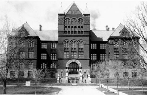
During the upcoming renovation of historic Science Hall, the Robinson Map Library will temporarily relocate to the Computer Sciences building on the UW–Madison campus (1210 W. Dayton St.).
Schedule/Hours Changes
Aerial photo collections in the Robinson Map Library are accessible by appointment Monday-Friday. Please email Map and GIS Librarian Jaime Martindale (jmartindale@wisc.edu)
Collections access during construction
Print map collections, books, and atlases will be inaccessible for the duration of the construction project. Historic aerial photograph collections are accessible from Computer Sciences. It is estimated that the Science Hall building renovation project may last 3+ years.
Reference and remote services will continue
Please email the Map and GIS Librarian for reference or research requests related to maps, aerial photos, geographic information systems (GIS), or geospatial data at any time throughout the relocation and renovation project timeline.
All geospatial data requests and consultations will still take place as normal during this time, as will historic aerial photo scan requests.
While access to our own map collection will not be possible, we can work with researchers to utilize a wide variety of scanned map collections and/or obtain materials from coordinating academic research institutions.
Summary Details:
Timeline: The Robinson Map Library temporarily relocated to the Computer Sciences Building in June 2026. Aerial photo collections are accessible by appointment. (No map or atlas collections will be accessible until we return to Science Hall.) We are expected to be in the CS building for the next 3+ years.
Location:
Computer Sciences Rm 2281 (aerial photo collections in Rm 2310)
1210 W. Dayton St. (on the UW–Madison campus)
Detailed Directions:
Enter CS via Dayton St. –
Immediately turn left and go through the set of double doors – take stairs or elevator up to the second floor. Follow signs for Rm 2281.
Enter CS via Orchard St. –
(1) turn right and go up the purple steps – follow this hallway and go through the first set of double doors at the right – up one flight of steps to the second floor and follow signs for Rm 2281.
(2) walk straight through the building and turn right towards the Dayton St entrance, turn right again and go through the double doors to take the stairs or elevator up to the second floor. Follow signs for Rm 2281.
Visitor Information: Visitors can access to the historic aerial photograph collections by appointment. Email Map and GIS Librarian Jaime Martindale (jmartindale@wisc.edu) to schedule.