In preparation for the upcoming Science Hall building renovation and our temporary relocation, the Robinson Map Library will be closed beginning March 30, 2026.
More information can be found here.
Popular Resources
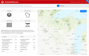
GeoData@Wisconsin
View and download publicly available state and local geospatial data, lidar, aerial imagery and scanned maps for Wisconsin.
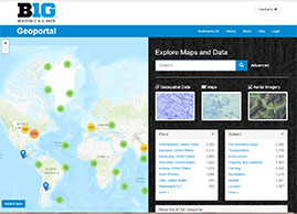
Big Ten Geoportal
Download geospatial data, scanned maps, and aerial imagery from Big Ten institutions (including UW-Madison).
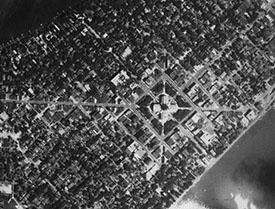
Aerial Photography
The library is home to the largest collection of historic aerial photographs of Wisconsin, with over 260,000 images.
Library Hours & Information
Spring 2026
Temporarily closed to in-person visitors until mid-summer 2026. More information here.
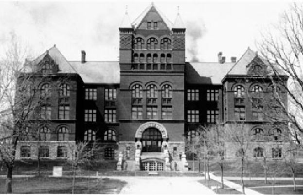
Finding the Robinson Map Library:
Street Address: 550 N. Park Street Madison, WI 53706
The library is located in Room 310 of Science Hall on the UW-Madison campus.
Download the Robinson Projection
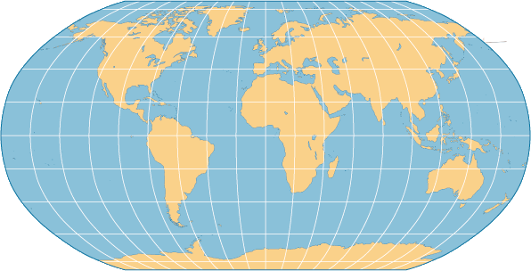
PDF with graticule | PDF no graticule | JPEG with graticule | JPEG no graticule | Shapefile format